- Apartments
- Overview & Photos
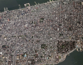
- Maps
- Building Specialists
- Floorplans
- Sales Data & Comps
- Similar Buildings
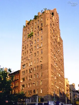

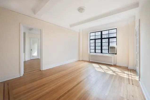
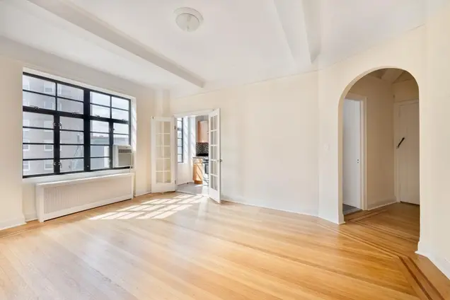
The Shenandoah, designed by Emery Roth in 1929, is a 14-story rental apartment building located at the intersection of Christopher Park and Sheridan Park in Greenwich Village. Known for its charming brown-brick façade, the building features medieval-style parapets, crenelated masonry, and a Romanesque-style rooftop watertank. The apartments are characterized by high beamed ceilings and double casement windows, providing ample natural light and views of the surrounding parks.
Residents enjoy a range of amenities, including a 24 hour doorman, laundry facilities, and a pet-friendly policy. The building's location is steeped in cultural history, situated near the iconic Stonewall Inn and the former site of the legendary Café Society, which hosted numerous jazz legends. The area is vibrant, with cobblestone streets, quaint storefronts, and easy access to public transportation, making it a desirable place to live.
Apartment offerings include cozy studios and spacious two-bedroom units, many of which come fully furnished with modern decor and equipped kitchens. Notable features include in-unit laundry, premium wireless speakers, and smart TVs. The flexible lease options cater to various living arrangements, whether short-term or long-term, appealing to both locals and newcomers to the city.
Historically, The Shenandoah has attracted a variety of notable residents, contributing to its reputation as a culturally rich and artistic community. With its unique architectural charm and prime location, The Shenandoah remains a sought-after residence in one of New York City's most iconic neighborhoods.
View school info, local attractions, transportation options & more.
Experience amazing 3D aerial maps and fly throughs.